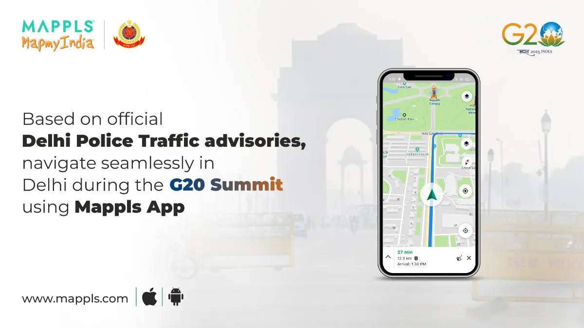

Mapples App to Help G20 Summit Attendees Plan Their Journeys.
MapMyIndia, a domestic navigation services company, has partnered with Delhi Police to provide real-time traffic updates on its Mapples app during the G20 Summit. The Mapples navigation map will show the latest traffic conditions, including those affected by VIP movements and other unforeseen circumstances.
Delhi Police has shared all the planned traffic restrictions and road closures with MapMyIndia, which has incorporated this information into its routing, navigation, and traffic engine. This means that Mapples App users will be able to see the latest traffic conditions and plan their routes accordingly.
In the event of a route closure due to traffic restrictions, Mapples App users will be able to discover alternate routes and navigate to destinations closest to their original destination.
The G20 Summit is scheduled to be held on September 9 and 10 in New Delhi. The summit will bring together leaders from the world’s 20 largest economies to discuss global economic and political issues.
The collaboration between MapMyIndia and Delhi Police is a welcome initiative that will help to ensure smooth traffic flow during the G20 Summit. It will also help to keep Mapples App users informed of the latest traffic conditions and help them to plan their journeys accordingly.
[ Some related Questions and Answers from this Article ]
- When will the real-time traffic updates be available on the Mapples app?
The real-time traffic updates will be available on the Mapples app starting on September 9, 2023, the day of the G20 Summit.
- What kind of traffic conditions will be shown on the Mapples app?
The Mapples app will show the latest traffic conditions, including those affected by VIP movements and other unforeseen circumstances. This means that users will be able to see how traffic is flowing on a particular road, as well as any road closures or restrictions that are in place.
- How can I use the Mapples app to plan my route during the G20 Summit?
To use the Mapples app to plan your route during the G20 Summit, simply open the app and enter your destination. The app will then show you the latest traffic conditions and suggest the best route to take. If there are any road closures or restrictions in place, the app will also show you alternate routes.
- What if I’m already on the road and I encounter a route closure?
If you’re already on the road and you encounter a route closure, you can use the Mapples app to find an alternate route. Simply open the app and tap on the “Find Alternate Route” button. The app will then show you a list of alternate routes that you can take.
……………………………………………………….
Nifty and Bank-Nifty Prediction for Tomorrow, Sep 7 – LINK
Article in Hindi –
मैपमायइंडिया, एक घरेलू नेविगेशन सेवा कंपनी, ने दिल्ली पुलिस के साथ गठजोड़ किया है ताकि जी20 शिखर सम्मेलन के दौरान अपने मैपल्स ऐप पर वास्तविक समय में यातायात अपडेट प्रदान कर सके। मैपल्स नेविगेशन मानचित्र में नवीनतम यातायात की स्थिति दिखाई देगी, जिसमें वीआईपी गतिविधियों और अन्य अप्रत्याशित परिस्थितियों से प्रभावित यातायात भी शामिल है।
दिल्ली पुलिस ने सभी योजनाबद्ध यातायात प्रतिबंधों और सड़क बंद करने की जानकारी मैपमायइंडिया के साथ साझा की है, जिसे इसने अपने रूटिंग, नेविगेशन और ट्रैफिक इंजन में शामिल किया है। इसका मतलब है कि मैपल्स ऐप के उपयोगकर्ता नवीनतम यातायात की स्थिति देख सकेंगे और अपनी यात्रा के अनुसार योजना बना सकेंगे।
यदि किसी मार्ग को यातायात प्रतिबंधों के कारण बंद कर दिया जाता है, तो मैपल्स ऐप के उपयोगकर्ता आस-पास के गंतव्यों के लिए वैकल्पिक मार्ग खोज सकेंगे।
जी20 शिखर सम्मेलन 9 और 10 सितंबर को नई दिल्ली में आयोजित होने वाला है। शिखर सम्मेलन में दुनिया के 20 सबसे बड़े अर्थव्यवस्थाओं के नेताओं को वैश्विक आर्थिक और राजनीतिक मुद्दों पर चर्चा करने के लिए एक साथ लाएगा।
मैपमायइंडिया और दिल्ली पुलिस के बीच यह सहयोग एक स्वागत योग्य पहल है जो जी20 शिखर सम्मेलन के दौरान सुचारू यातायात प्रवाह को सुनिश्चित करने में मदद करेगा। यह मैपल्स ऐप के उपयोगकर्ताओं को नवीनतम यातायात की स्थिति से अवगत रखने और अपनी यात्राओं की योजना के अनुसार तैयार करने में भी मदद करेगा।
[ इस लेख से संबंधित कुछ प्रश्न और उत्तर ]
- वास्तविक समय में यातायात अपडेट मैपल्स ऐप पर कब उपलब्ध होंगे?
वास्तविक समय में यातायात अपडेट मैपल्स ऐप पर 9 सितंबर, 2023 को, जी20 शिखर सम्मेलन के दिन से उपलब्ध होंगे।
- मैपल्स ऐप पर किस तरह के यातायात की स्थिति दिखाई देगी?
मैपल्स ऐप नवीनतम यातायात की स्थिति दिखाएगा, जिसमें वीआईपी गतिविधियों और अन्य अप्रत्याशित परिस्थितियों से प्रभावित यातायात भी शामिल है। इसका मतलब है कि उपयोगकर्ता किसी विशेष सड़क पर यातायात कैसे बह रहा है, साथ ही किसी भी सड़क बंद या प्रतिबंधों के बारे में भी जान सकेंगे।
- मैं जी20 शिखर सम्मेलन के दौरान मैपल्स ऐप का उपयोग करके अपना मार्ग कैसे योजना बना सकता हूँ?
जी20 शिखर सम्मेलन के दौरान अपना मार्ग योजना बनाने के लिए, बस ऐप खोलें और अपने गंतव्य में प्रवेश करें। ऐप आपको नवीनतम यातायात की स्थिति दिखाएगा और सबसे अच्छा मार्ग सुझाएगा। यदि कोई सड़क बंद या प्रतिबंधित है, तो ऐप आपको वैकल्पिक मार्ग भी दिखाएगा।
- अगर मैं सड़क पर हूँ और मुझे कोई मार्ग बंद मिलता है?
यदि आप सड़क पर हैं और आपको कोई मार्ग बंद मिलता है, तो आप मैपल्स ऐप का उपयोग करके एक वैकल्पिक मार्ग खोज सकते हैं। बस ऐप खोलें और “वैकल्पिक मार्ग खोजें” बटन पर टैप करें। ऐप आपको उपलब्ध वैकल्पिक मार्गों की एक सूची दिखाएगा।
Join our Telegram Channel
📲 Click on the link below to join:
🚀 Stay updated with the latest market trends and insights. 📈📊


